


About this app
Introduction
Revit users, rejoice! Ge-Terrain for Autodesk® Revit® 2024 is here to revolutionize the way you create topographic surfaces. With its innovative use of Google and Bing Elevation Service, this plugin provides the most accurate elevation information for all points, allowing you to generate detailed topographic surfaces with ease. Say goodbye to manual elevation data input and hello to a seamless workflow with Ge-Terrain.

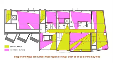
(Image by: Analist Group)
Features
One of the standout features of Ge-Terrain is its integration with Google and Bing Elevation Service. By tapping into these powerful tools, the plugin is able to retrieve altitude information for all points with unparalleled accuracy. This means that you can trust Ge-Terrain to deliver precise topographic surfaces that reflect real-world elevations.
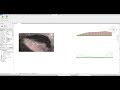
Not only can you create topographic surfaces with Ge-Terrain, but you can also draw topographic surface profiles directly in Revit. This added functionality gives you even more control over your design process, allowing you to visualize your project in greater detail.
Setting up Ge-Terrain is a breeze. Simply click on the Ge-Terrain tab, then on Configure Google Key, and follow the instructions to sign in to the Google Elevation, Geocoding, and Javascript Map API to request the code. Once you receive the Activation Key via email (be sure to check your spam folder!), you're ready to start using the plugin to enhance your Revit projects.

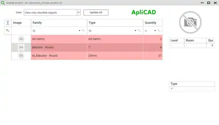
(Image by: Analist Group)
Ease of Use
Ge-Terrain's user-friendly interface makes it easy for both beginners and seasoned Revit users to incorporate topographic surfaces into their designs. The seamless integration with Google and Bing Elevation Service streamlines the process of obtaining accurate elevation data, saving you time and effort in your projects.
Additionally, the custom installer for Ge-Terrain ensures a smooth installation process, so you can start using the plugin without any hassle. With its intuitive design and straightforward setup, Ge-Terrain is a must-have tool for architects, engineers, and designers working in Revit.

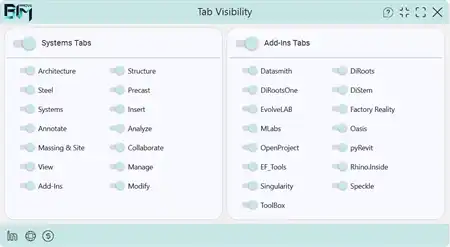
(Image by: Analist Group)
Conclusion
Ge-Terrain for 2024 is a game-changing plugin for Revit that simplifies the creation of topographic surfaces and profiles. By leveraging the power of Google and Bing Elevation Service, Ge-Terrain delivers accurate elevation information for all points, allowing you to create detailed and realistic topography in your projects. With its user-friendly interface and seamless integration, Ge-Terrain is a valuable tool for anyone looking to enhance their Revit workflow. Give Ge-Terrain a try today and take your designs to new heights!

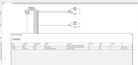
(Image by: Analist Group)

(Image by: Analist Group)

(Image by: Analist Group)