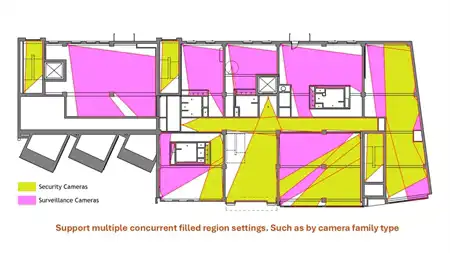


About this app
Introduction
Ge-Terrain for Revit 2021 is a powerful plugin that brings innovative features to Autodesk Revit users. It leverages Google and Bing Elevation Services to provide accurate elevation information, enabling users to create topographic surfaces and draw surface profiles effortlessly. This review will delve into the key features and benefits of Ge-Terrain, highlighting why it is a valuable addition to any Revit user's toolkit.

(Image by: Analist Group)
Key Features
One of the standout features of Ge-Terrain for Revit 2021 is its use of Google and Bing Elevation Services. By tapping into these services, the plugin is able to obtain precise altitude information for all points, ensuring that topographic surfaces are accurately represented. This not only enhances the visual quality of projects but also improves the overall accuracy of design work.
Another noteworthy feature is the ability to create topographic surfaces directly within Autodesk Revit. This streamlines the design process, allowing users to visualize terrain contours and make informed decisions about site development. Additionally, the plugin enables users to draw topographic surface profiles, adding another layer of detail to their designs.

(Image by: Analist Group)
Easy Setup and Configuration
Setting up Ge-Terrain for Revit 2021 is a straightforward process. Users simply need to click on the Ge-Terrain tab, then select "Configure Google Key" to begin. By following the on-screen instructions, users can sign into the Google Elevation, Geocoding, and Javascript Map API to request the activation code. It's important to note that the activation key will be sent via email upon purchase, so users should check their spam folder if necessary.
It's worth mentioning that Ge-Terrain uses a custom installer, rather than the standard App Store installer. While this may require an extra step during setup, it ultimately ensures a seamless integration with Autodesk Revit and reliable performance.

(Image by: Analist Group)
Conclusion
Overall, Ge-Terrain for Revit 2021 is a game-changing plugin for Autodesk Revit users who work with topographic surfaces. Its innovative use of Google and Bing Elevation Services sets it apart from other plugins on the market, providing users with the most accurate elevation information available. The ability to create topographic surfaces and profiles directly within Revit streamlines the design process and enhances the quality of projects.
Whether you're a seasoned Revit user or just starting out, Ge-Terrain is a valuable tool that can take your designs to the next level. Its intuitive interface, easy setup, and robust features make it a must-have plugin for anyone working with terrain modeling in Revit. Give Ge-Terrain a try and experience the difference it can make in your design workflow.

(Image by: Analist Group)

(Image by: Analist Group)

(Image by: Analist Group)

(Image by: Analist Group)

(Image by: Analist Group)