About this app
Introduction
Scan Terrain is a powerful plugin for Autodesk Revit that allows users to create a Toposurface from a laser-scanned point cloud. With customizable options to isolate the ground surface and set point spacing, this plugin offers a user-friendly solution for accurately modeling terrain within Revit.

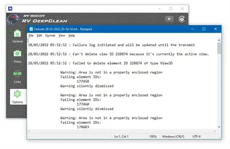
(Image by: Ingersoll Consulting, Inc.)
Features
One of the standout features of Scan Terrain is the ability to isolate the ground surface based on specific parameters. Users can choose whether the terrain is flat, hilly, or mountainous, as well as specify if there are steps or steep slopes present. These options help ensure that the ground surface is calculated accurately, saving time and effort in the modeling process.
Additionally, the plugin offers a command to add Toposurface points from the point cloud to an existing Toposurface. This feature is especially useful for users who need to update their models with new data. With the option to delete existing points in the area of the newly added points, Scan Terrain streamlines the editing process and promotes a more efficient workflow.

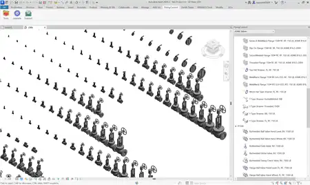
(Image by: Ingersoll Consulting, Inc.)
Ease of Use
Scan Terrain is designed with user-friendliness in mind, with an intuitive interface that makes it easy to navigate and access all the plugin's features. The customizable options and clear parameters ensure that users can quickly and accurately model terrain within Revit without the need for complex manual calculations.

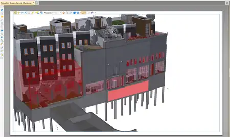
(Image by: Ingersoll Consulting, Inc.)
Conclusion
Overall, Scan Terrain is a valuable addition to any Revit user's toolkit, offering a straightforward solution for creating accurate Toposurfaces from laser-scanned point clouds. With customizable options, intuitive controls, and a seamless editing process, this plugin streamlines the terrain modeling process and helps users achieve more precise results in their Revit projects. Whether you're working on residential developments, commercial buildings, or landscape designs, Scan Terrain is a must-have plugin that can enhance your workflow and improve the quality of your models.

(Image by: Ingersoll Consulting, Inc.)