


About this app
Introduction
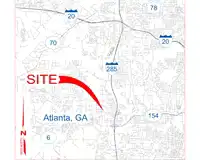
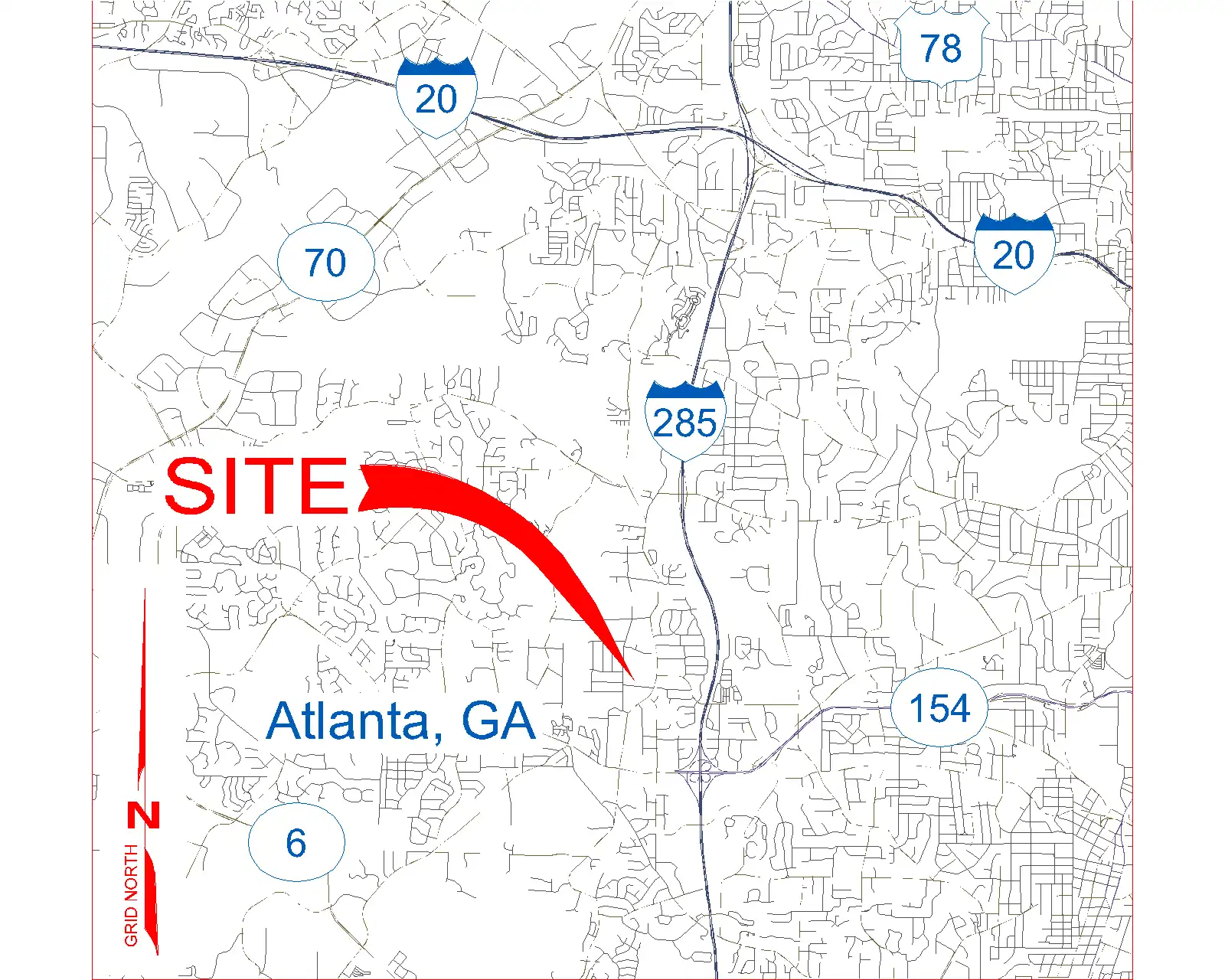
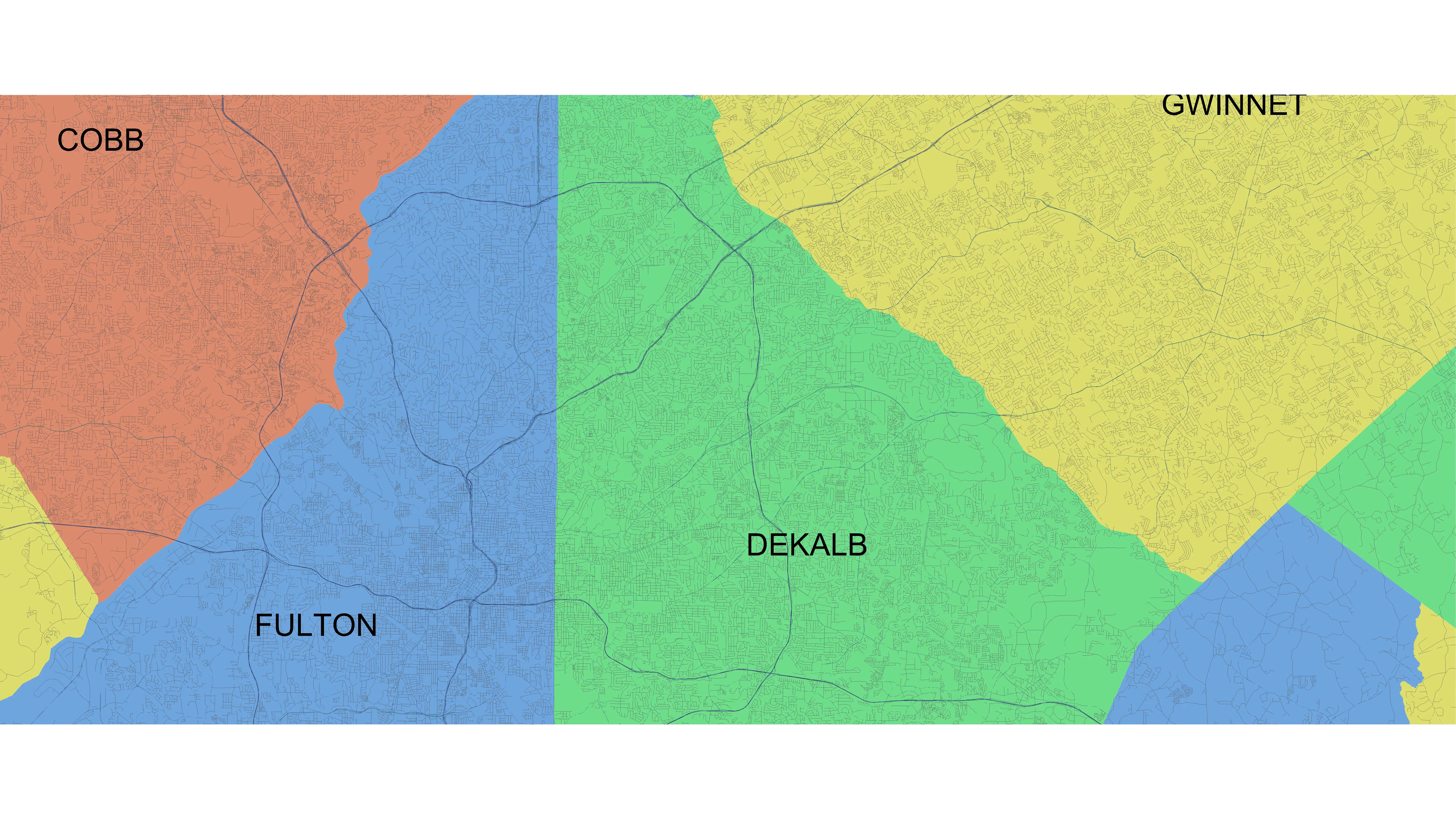
Revit, a popular BIM software used by architects, engineers, and construction professionals, is known for its powerful design capabilities. However, with the addition of the Vicinity GIS plugin, users can now take their projects to the next level by incorporating real-world, geo-referenced features into their designs. This plugin offers a collection of CAD Models that accurately represent Federal, State & local streets, highways, and roads in Arizona, US, making it easier than ever to create detailed and accurate designs.
(Image by: Methodical, Cad Consulting)
Features and Functionality
The Vicinity GIS plugin is a game-changer for Revit users looking to add a layer of realism to their projects. Each CAD Model within the plugin is geo-referenced to its respective NAD83 State Plane coordinate system, ensuring precise positioning within the project. This attention to detail extends to the units used, with U.S. Survey feet for the United States and countries that use the Imperial System, and meters for countries that use the Metric System.
One of the standout features of the Vicinity GIS plugin is its compatibility with all Autodesk® product categories. The CAD Models are in "dwg" format, which has become the universal format for Engineering, Architectural, Structural, and Geographic Industries. This means that users can easily insert or x-reference the models into their project designs, allowing for seamless integration of real-world features.
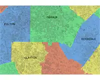
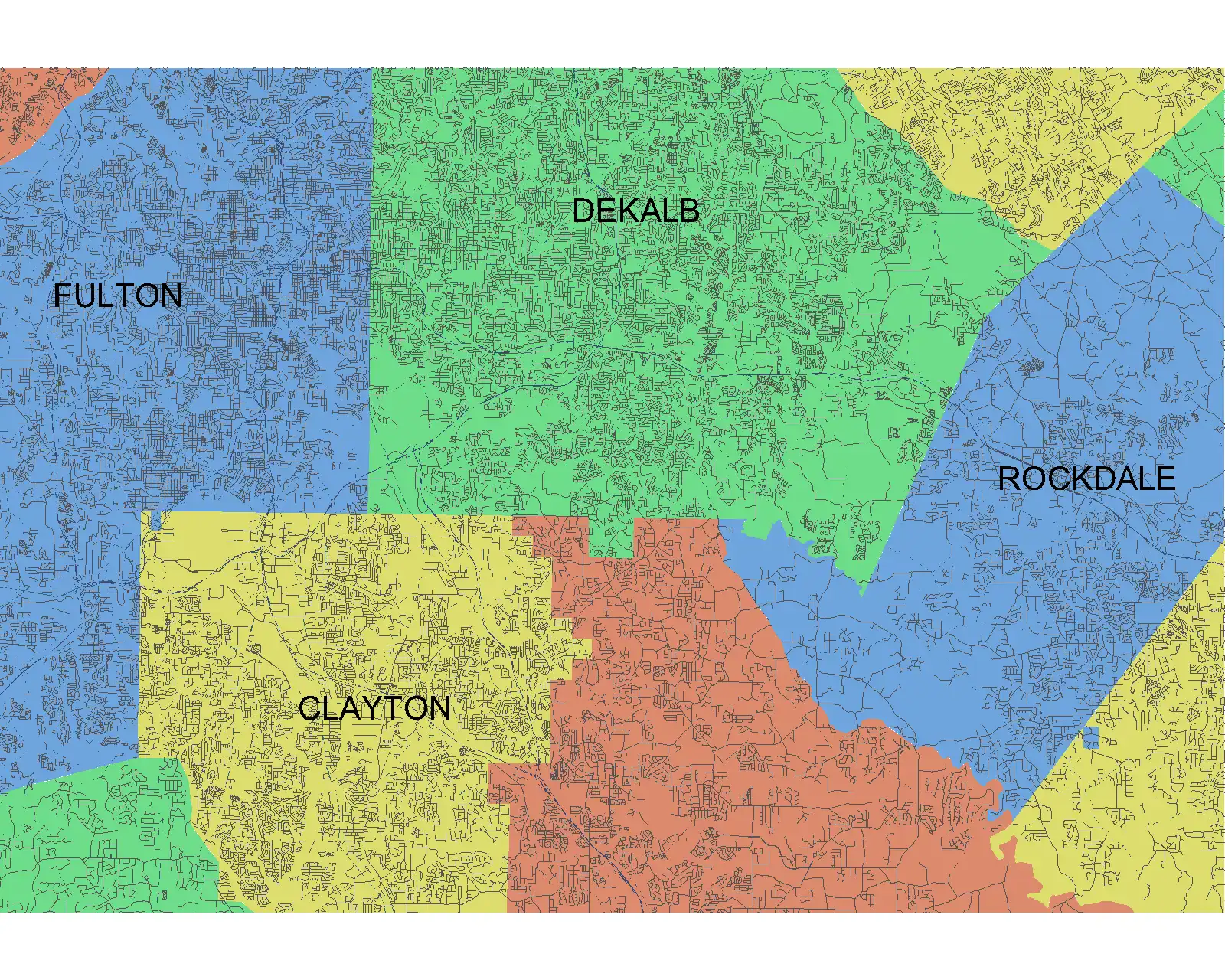
Additionally, the CAD Models in Vicinity GIS are designed with usability in mind. Features such as polylines, text, and hatch entities are separated by Layer, Color, Line Weight, and Style, making it easy to isolate, select, and search for specific elements within the model. Governmental Administrative divisions, including State, Province, County/Parish, and City boundaries, are also included and separated by hatched areas, further enhancing the usability and searchability of the CAD Models.
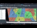
(Image by: Methodical, Cad Consulting)
Integration and Benefits
Integrating the Vicinity GIS plugin into your Revit workflow offers a range of benefits. By incorporating real-world geo-referenced features into your designs, you can create more accurate and detailed models. This can be particularly useful for projects that require precise alignment with existing infrastructure, such as roadways or utilities.
Furthermore, the ability to x-clip the CAD Models to show only project-specific areas allows for greater flexibility in design. Users can focus on the relevant aspects of the model without being overwhelmed by unnecessary details, streamlining the design process and improving productivity.
Overall, the Vicinity GIS plugin enhances the capabilities of Revit by providing users with access to a comprehensive collection of CAD Models that accurately represent real-world features. Whether you are working on urban planning projects, transportation design, or infrastructure development, this plugin can help take your designs to the next level.
(Image by: Methodical, Cad Consulting)
Conclusion
The Vicinity GIS plugin is a valuable addition to any Revit user's toolkit. By incorporating real-world, geo-referenced features into your designs, you can create more accurate and detailed models that align seamlessly with existing infrastructure. The plugin's compatibility with all Autodesk® product categories and its user-friendly design make it a must-have for professionals in the architectural, engineering, and construction industries. Give Vicinity GIS a try and unlock the full potential of your Revit projects today.

(Image by: Methodical, Cad Consulting)