


About this app
Introduction
Revit users, rejoice! Vicinity GIS is here to revolutionize the way you work with CAD models. This powerful plugin offers a collection of geo-referenced features that accurately represent Federal, State & local streets, highways, and roads in Nevada, US. With each CAD Model geo-referenced to its respective NAD83 State Plane coordinate system, Vicinity GIS ensures precision and accuracy in your designs.
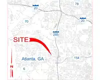
(Image by: Methodical, Cad Consulting)
Features and Functionality
One of the standout features of Vicinity GIS is its compatibility with all Autodesk® product categories. The CAD Models provided by this plugin are in "dwg" format, making them universally accessible for Engineering, Architectural, Structural, and Geographic Industries. Whether you are working on a building design, infrastructure project, or urban planning, Vicinity GIS seamlessly integrates into your workflow.
Inserting or x-referencing CAD Models into your project design models is a breeze with Vicinity GIS. You can x-clip the models to show only the project-specific areas you need, streamlining your workflow and enhancing efficiency. The features within the CAD Models, including polylines, text, and hatch entities, are organized by Layer, Color, Line Weight, and Style, making them easy to manipulate and customize to suit your project requirements.
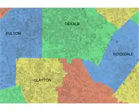
Governmental Administrative divisions such as State, Province, County/Parish, and City are clearly delineated within the CAD Models, making them easily distinguishable and searchable. This level of detail and organization ensures that you can quickly locate and work with specific geographic features in your designs.
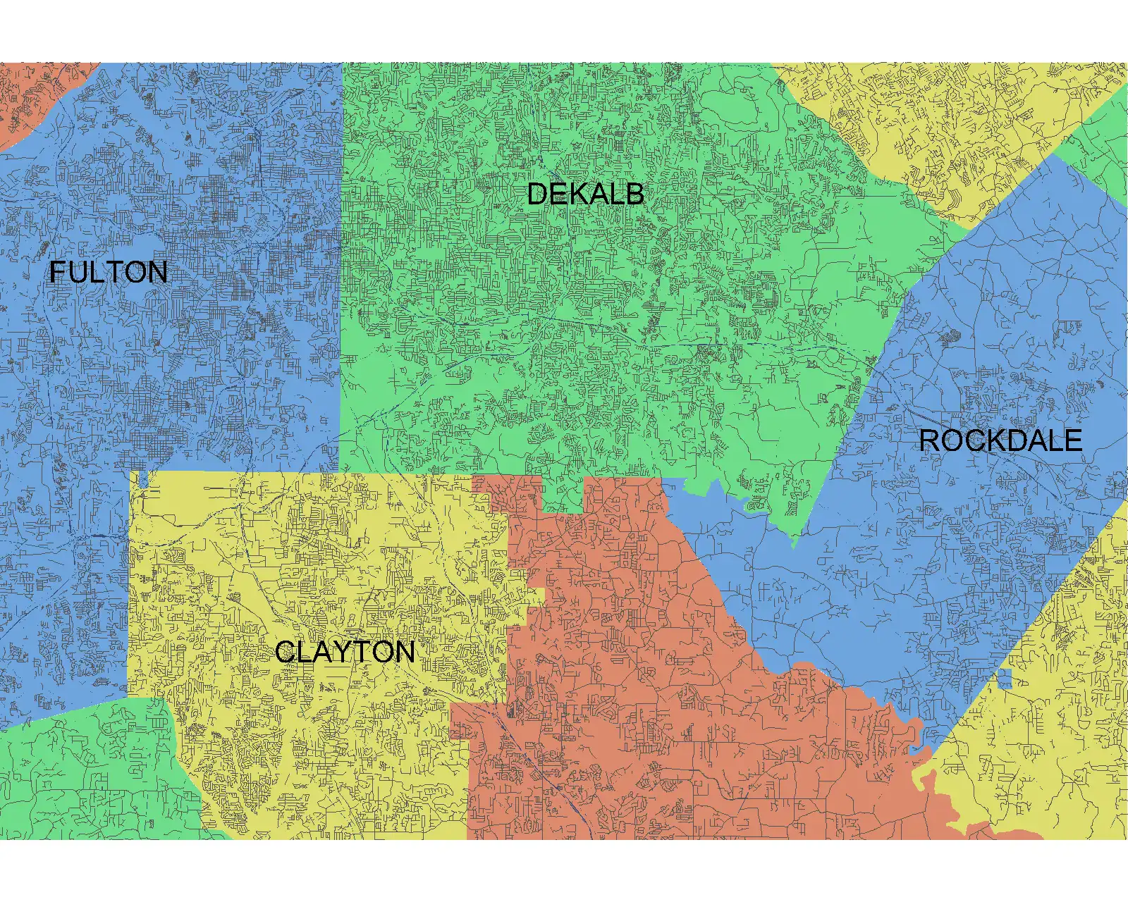
(Image by: Methodical, Cad Consulting)
Ease of Use and Customization
One of the key strengths of Vicinity GIS is its user-friendly interface and intuitive navigation. The plugin seamlessly integrates with Autodesk® AutoCAD® commands, allowing you to isolate, select, and search for specific features using familiar tools like "Qselect" and "Find" for text entities. This familiarity enhances the usability of Vicinity GIS and reduces the learning curve for new users.
Furthermore, the ability to customize the CAD Models to fit your project requirements is a significant advantage of using Vicinity GIS. Whether you need to adjust the scale, orientation, or visibility of specific features, the plugin offers a high level of flexibility and control. This level of customization empowers you to create accurate and detailed designs that meet your exact specifications.
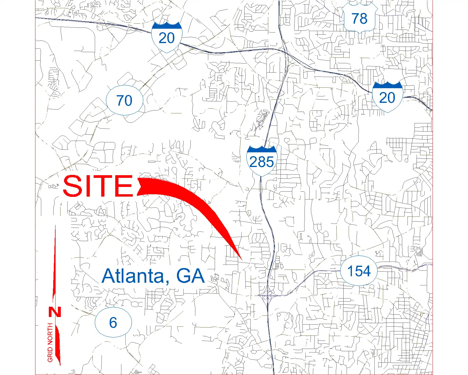
(Image by: Methodical, Cad Consulting)
Conclusion
In conclusion, Vicinity GIS is a game-changer for Revit users who work with CAD models in Nevada, US. With its geo-referenced features, compatibility with Autodesk® products, and user-friendly interface, this plugin offers unparalleled functionality and convenience. Whether you are a seasoned professional or a novice designer, Vicinity GIS empowers you to create precise and detailed designs with ease. Give it a try and see the difference it can make in your workflow!
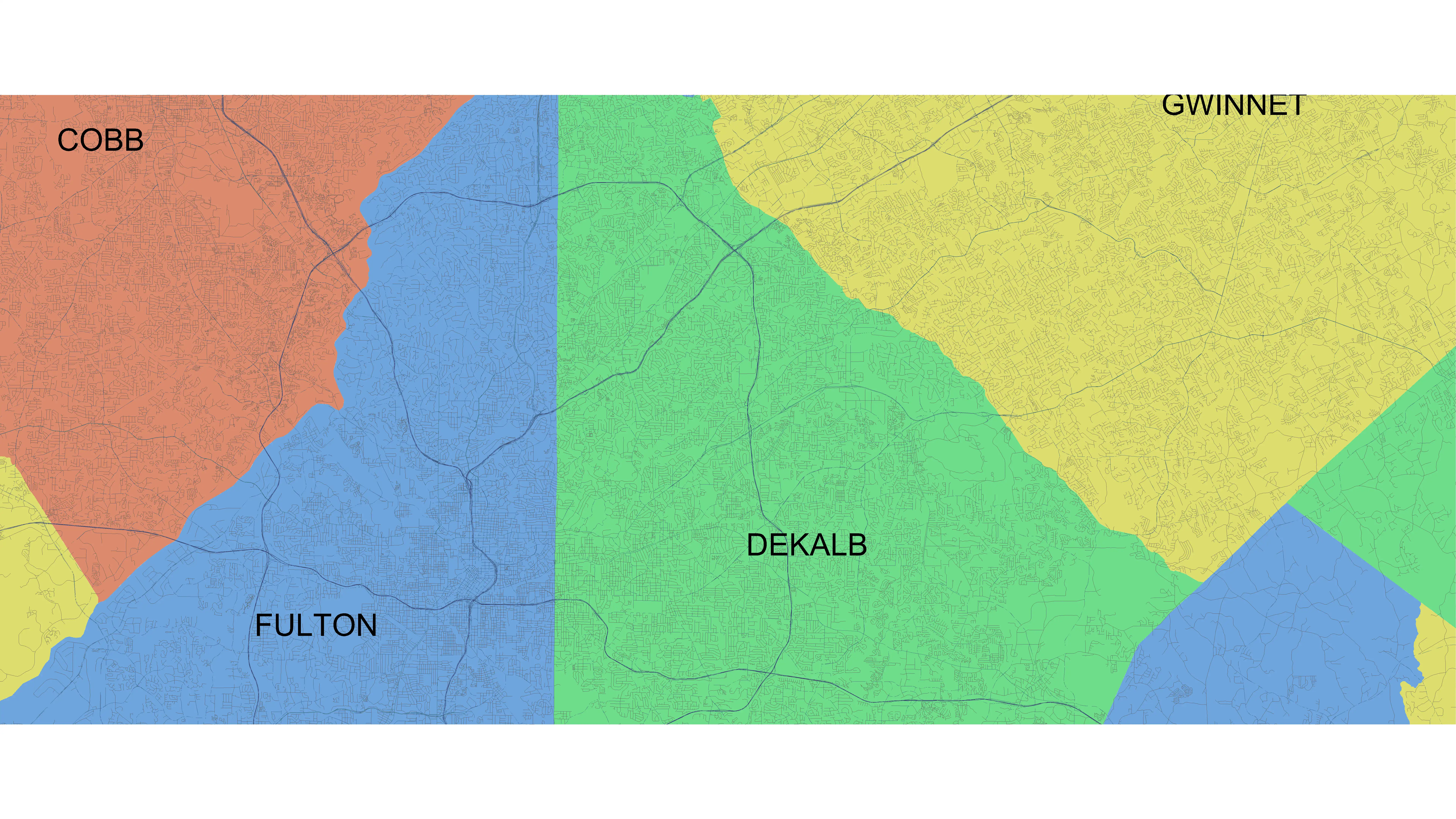
(Image by: Methodical, Cad Consulting)