


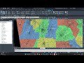


About this app
Revit users, are you looking for a powerful tool to enhance your design projects with real-world, geo-referenced features? Look no further than Vicinity GIS - New Zealand, a Revit plugin that offers a collection of CAD Models specifically tailored to the unique needs of users in New Zealand. In this review, we will explore the features and benefits of this plugin, as well as how it can improve your workflow and increase the accuracy of your designs.
Features and Functionality
Vicinity GIS - New Zealand provides users with a collection of CAD Models that consist of real world, geo-referenced features such as major and minor streets, highways, and roads. These models are geo-referenced to the NZTM, New Zealand Transverse Mercator Projection in Meters, ensuring accuracy and alignment with New Zealand's coordinate system. Each CAD Model is in "dwg" format, making it compatible with all Autodesk product categories and widely used in Engineering, Architectural, Structural, and Geographic Industries.
One of the key features of Vicinity GIS - New Zealand is the ability to insert or x-reference the CAD models into project design models and x-clip them to show only project-specific areas that are needed. This allows users to focus on the relevant features of their design and streamline the workflow. The models contain polylines, text, and hatch entities, which are separated by Layer, Color, Line Weight, and Style, making it easy to isolate, select, and search for specific features using standard Autodesk AutoCAD commands.
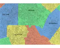
Additionally, each CAD Model includes Governmental Administrative divisions separated by hatched areas, making them easily distinguishable and searchable. This feature is particularly useful for users who need to work with administrative boundaries and regions in their design projects. By providing these detailed features and functionalities, Vicinity GIS - New Zealand offers a comprehensive solution for Revit users in New Zealand.
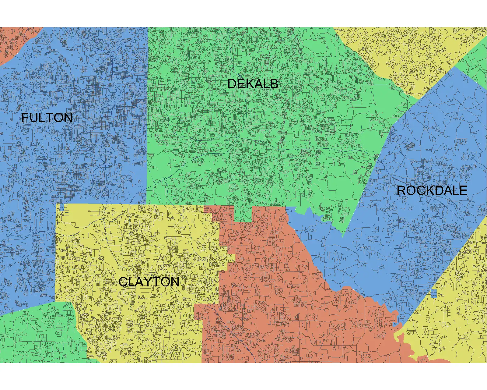
(Image by: Methodical, Cad Consulting)
Ease of Use and Compatibility
Despite its advanced features, Vicinity GIS - New Zealand is designed to be user-friendly and easy to integrate into existing Revit projects. The CAD Models can be seamlessly inserted or x-referenced into projects, allowing users to access the geo-referenced features without any hassle. The plugin is compatible with all Autodesk products, ensuring that users can leverage its capabilities across different software platforms.
While Vicinity GIS - New Zealand uses a dwg file instead of the standard App Store installer, this does not detract from its usability or functionality. In fact, the dwg format has become the universal standard for CAD models in the industry, making it easy for users to work with the files and incorporate them into their designs. Overall, Vicinity GIS - New Zealand offers a seamless user experience and compatibility with existing Revit workflows.
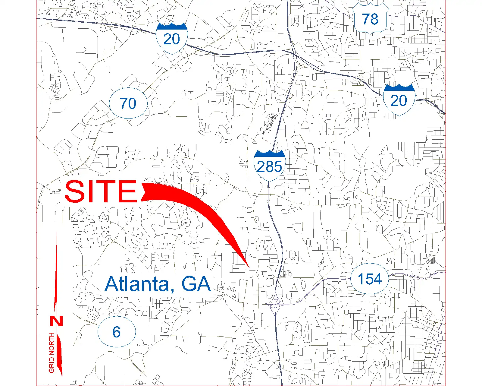
(Image by: Methodical, Cad Consulting)
Benefits and Impact
By incorporating Vicinity GIS - New Zealand into their design projects, Revit users can benefit from increased accuracy, efficiency, and productivity. The geo-referenced CAD Models provide a detailed representation of real-world features, allowing users to create more precise and realistic designs. The ability to isolate and search for specific features within the models enhances the workflow and streamlines the design process.
Furthermore, the compatibility of Vicinity GIS - New Zealand with all Autodesk products ensures that users can seamlessly integrate the plugin into their existing projects and workflows. This versatility allows users to leverage the plugin's capabilities across different software platforms and maximize its impact on their design projects. Overall, Vicinity GIS - New Zealand offers a range of benefits that can significantly enhance the quality and efficiency of Revit designs.
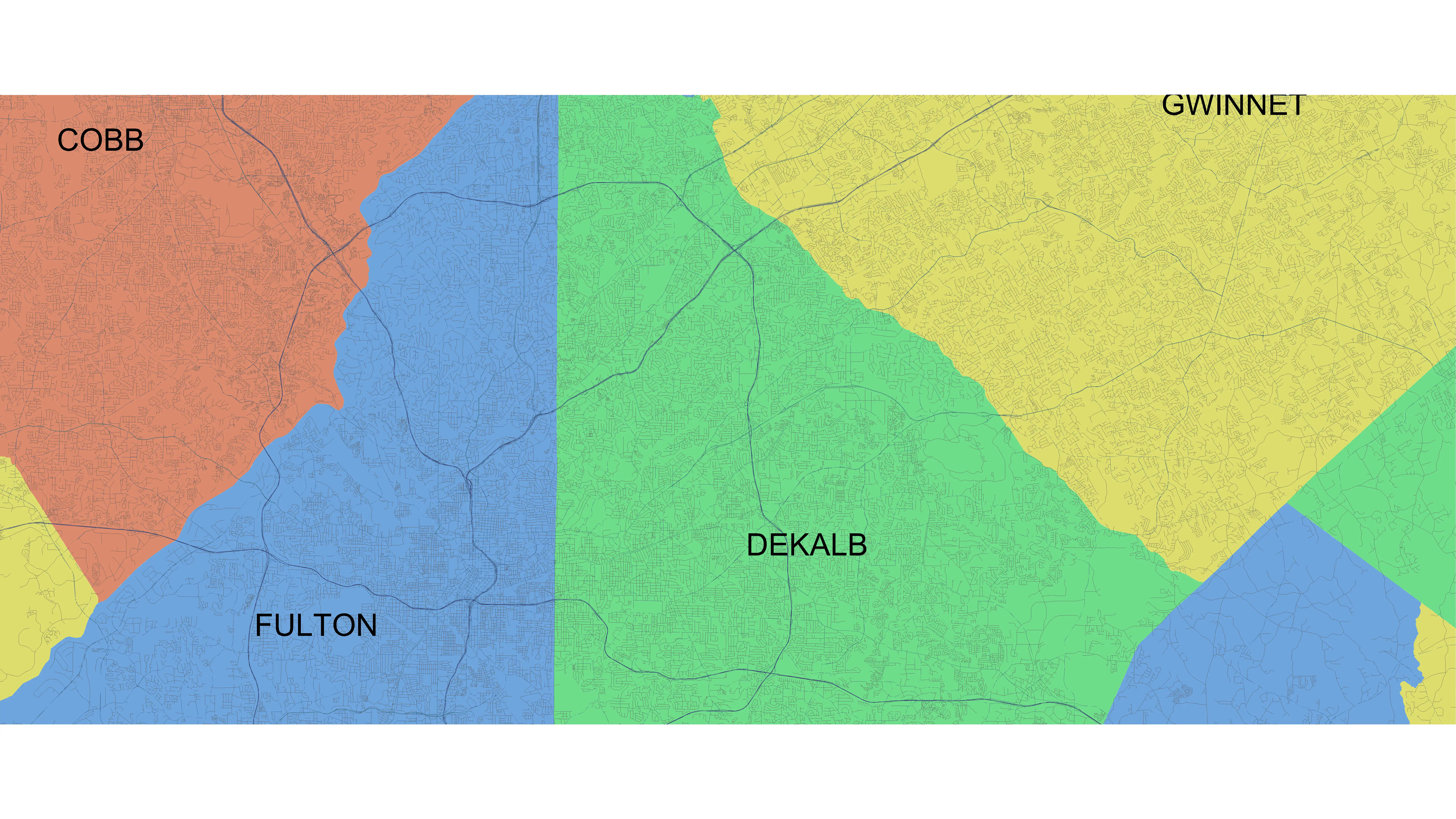
(Image by: Methodical, Cad Consulting)
Conclusion
In conclusion, Vicinity GIS - New Zealand is a powerful and versatile Revit plugin that offers a comprehensive collection of CAD Models geo-referenced to the NZTM coordinate system. With its user-friendly interface, advanced features, and compatibility with all Autodesk products, Vicinity GIS - New Zealand is a valuable tool for Revit users in New Zealand. By incorporating this plugin into their design projects, users can improve accuracy, efficiency, and productivity, ultimately enhancing the quality of their designs. If you are looking for a reliable and efficient solution for integrating real-world features into your Revit projects, look no further than Vicinity GIS - New Zealand.

(Image by: Methodical, Cad Consulting)