


About this app
Introduction
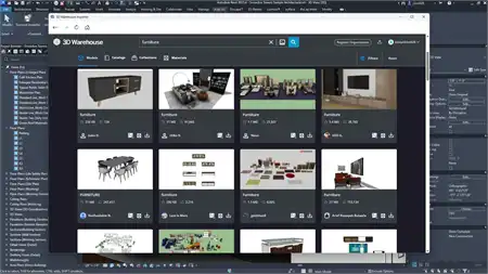
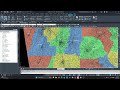
Revit users looking to streamline their design process and incorporate real-world geo-referenced features into their projects may find the Vicinity GIS plugin to be a valuable addition to their toolkit. This collection of CAD Models offers a wide range of Federal, State & local streets, highways, and roads, all geo-referenced to their respective NAD83 State Plane coordinate systems. With features represented in "dwg" format, Vicinity GIS can easily be integrated into Autodesk products, making it a versatile and efficient tool for various industries.
(Image by: Methodical, Cad Consulting)
Geo-Referenced CAD Models
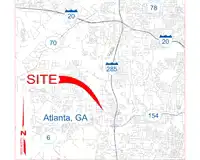
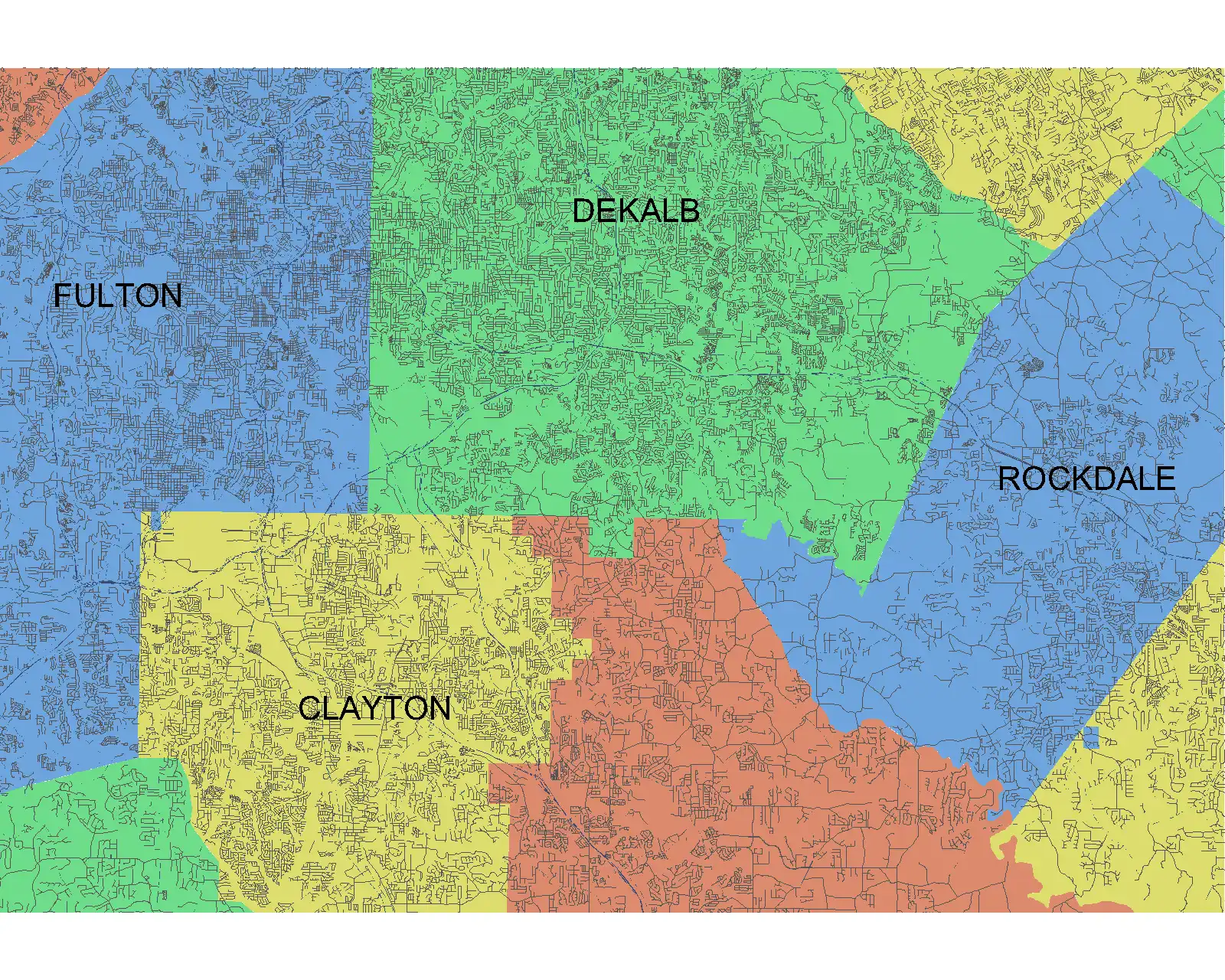
One of the standout features of Vicinity GIS is the geo-referenced CAD Models that provide users with accurate representations of streets, highways, and roads. Each model is geo-referenced to its respective NAD83 State Plane coordinate system, ensuring precise alignment with real-world geographic locations. This level of accuracy is crucial for architects, engineers, and other professionals who require detailed spatial information in their design projects.
Furthermore, the CAD Models are available in U.S. Survey feet for the United States and countries that use the Imperial System, as well as meters for countries that use the Metric System. This flexibility in units allows users to work seamlessly with the measurements that are most relevant to their specific projects, enhancing efficiency and accuracy in their designs.
(Image by: Methodical, Cad Consulting)
Easy Integration and Customization
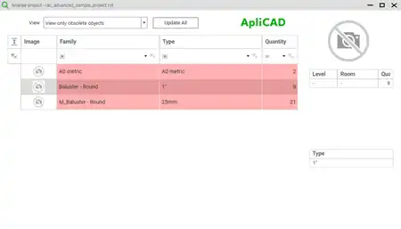
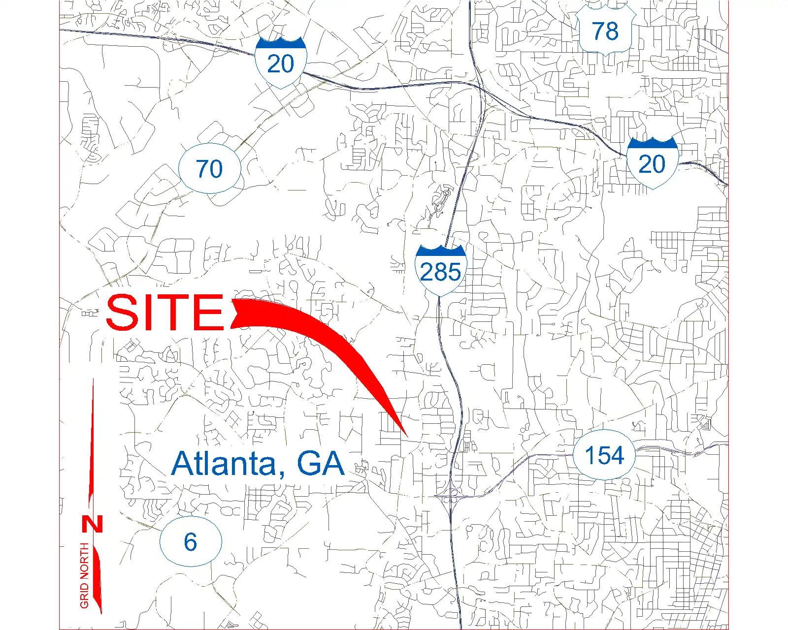
Thanks to the "dwg" format of the CAD Models, Vicinity GIS can be easily integrated into all Autodesk product categories, making it a versatile tool for users across various industries. Whether you work in Engineering, Architecture, Structural design, or the Geographic Industries, Vicinity GIS can seamlessly enhance your design process.
Users also have the ability to insert or x-reference the CAD Models into their project design models, allowing for easy customization and adaptation to specific project needs. The models can be x-clipped to show only the project-specific areas that are relevant, providing users with the flexibility to focus on the details that matter most in their designs.
(Image by: Methodical, Cad Consulting)
Governmental Administrative Divisions
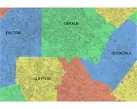
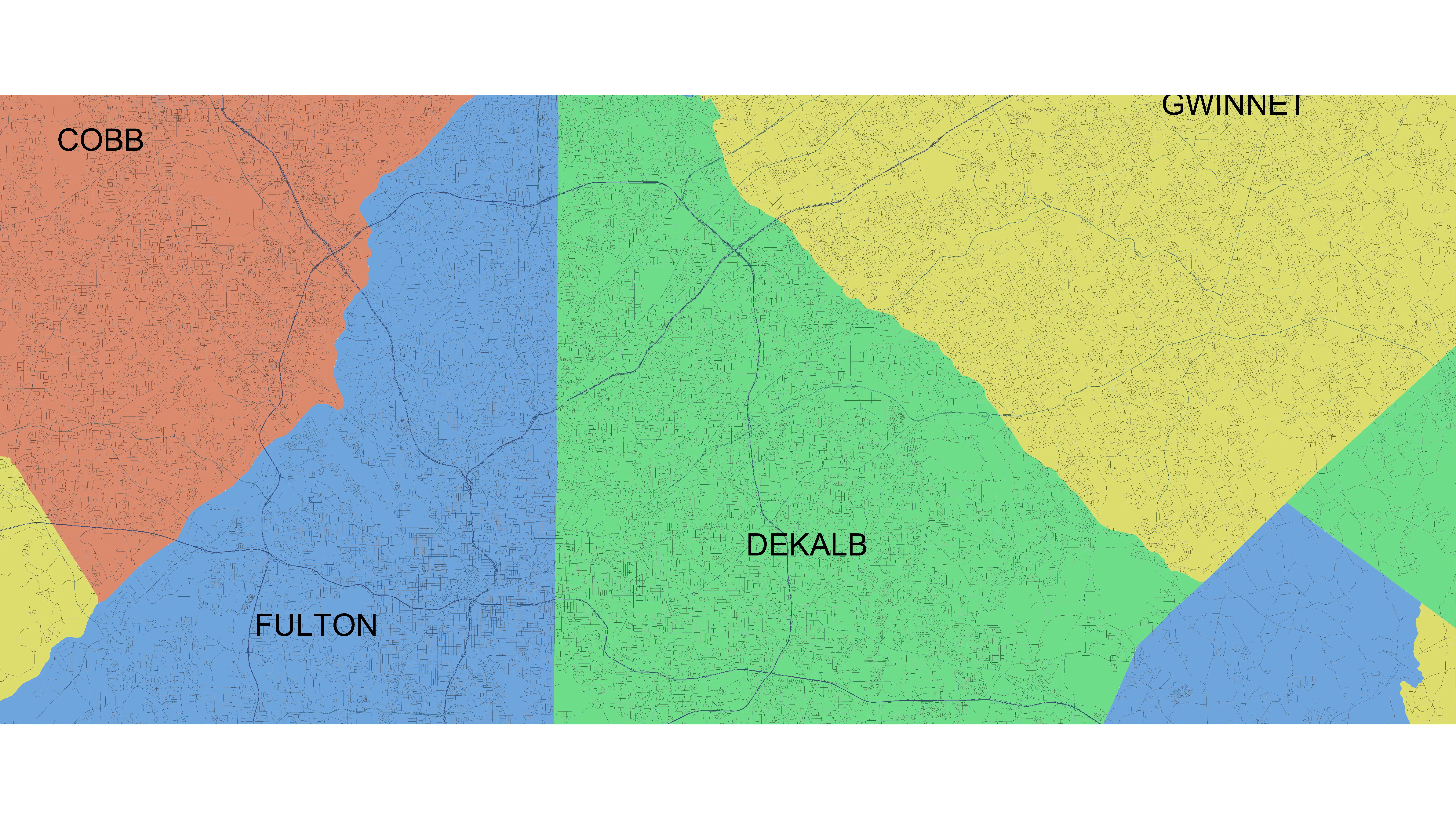
In addition to streets, highways, and roads, Vicinity GIS CAD Models also include Governmental Administrative divisions such as State, Province, County/Parish, and City boundaries. These divisions are separated by hatched areas, making them easily distinguishable and searchable within the models.
This feature can be particularly beneficial for users who need to work with specific administrative boundaries in their designs. By including these divisions in the CAD Models, Vicinity GIS offers users a comprehensive tool that provides both detailed street information and important administrative boundaries, enhancing the overall accuracy and usability of the models.
(Image by: Methodical, Cad Consulting)
Conclusion
Overall, Vicinity GIS - Maine, US is a powerful and versatile plugin that offers Revit users a wide range of geo-referenced CAD Models for streets, highways, and roads. With accurate representations of real-world features and easy integration into Autodesk products, Vicinity GIS can streamline the design process for professionals across various industries. The inclusion of Governmental Administrative divisions further enhances the usability of the models, making it a valuable tool for users who require detailed spatial information in their projects.
If you're looking to enhance the accuracy and efficiency of your design projects, consider incorporating Vicinity GIS into your workflow. With its comprehensive features and user-friendly interface, this plugin has the potential to significantly improve your design process and help you create more precise and detailed projects.