


About this app
Revit users, rejoice! Vicinity GIS - North Carolina, US is a powerful plugin that brings real-world, geo-referenced CAD models right into your design projects. With features that represent Federal, State & local streets, highways, and roads, this plugin is a game-changer for architects, engineers, and designers looking to add accurate geographic information to their Revit models.
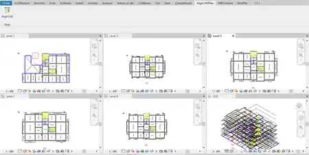
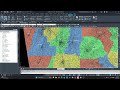
Geo-Referenced CAD Models
One of the key features of Vicinity GIS is its collection of CAD Models that are geo-referenced to their respective NAD83 State Plane coordinate system. This ensures that the models align perfectly with the real-world geography of North Carolina, US. Whether you're designing a new building or planning a road network, having accurate geo-referenced CAD models at your fingertips can save you time and improve the overall accuracy of your project.
(Image by: Methodical, Cad Consulting)
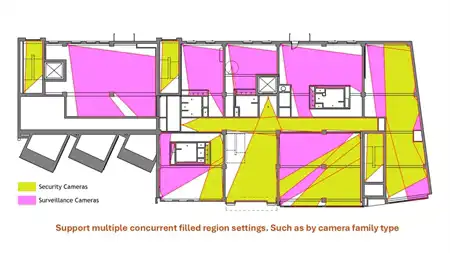
Universal Compatibility
Another great aspect of Vicinity GIS is its compatibility with all Autodesk product categories. The CAD models are in "dwg" format, which has become the universal standard in the Engineering, Architectural, Structural, and Geographic Industries. This means that you can easily insert or x-reference the models into your Revit projects without any compatibility issues.
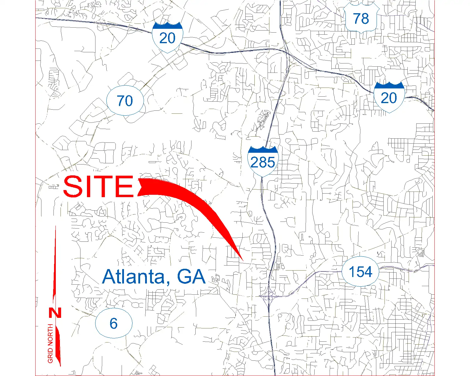
(Image by: Methodical, Cad Consulting)
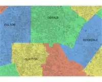
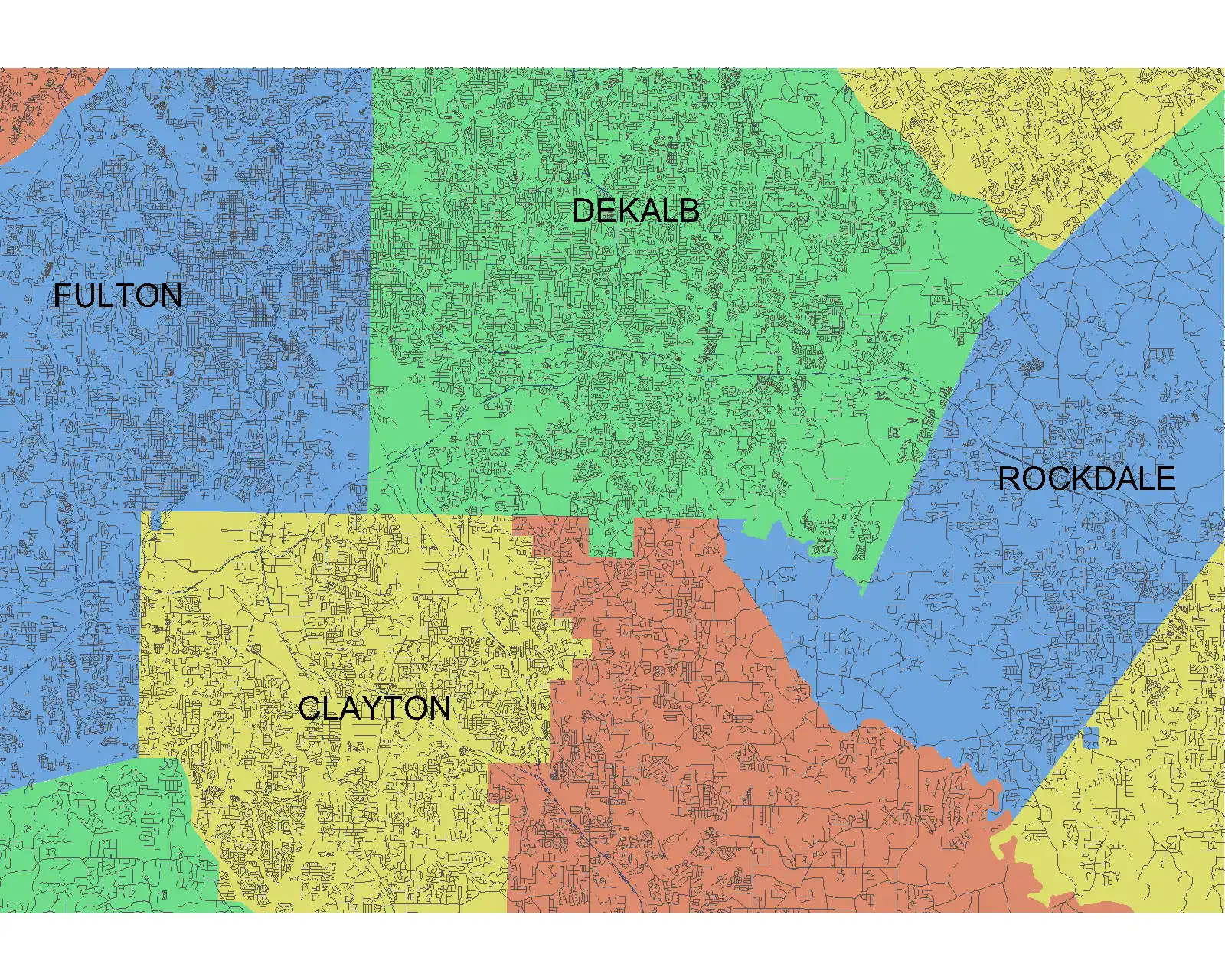
Governmental Administrative Divisions
In addition to streets, highways, and roads, Vicinity GIS also includes Governmental Administrative divisions such as State, Province, County/Parish, and City boundaries. These divisions are separated by hatched areas, making them easily distinguishable and searchable within the CAD models. This feature can be particularly useful for designers who need to work with specific administrative boundaries in their projects.
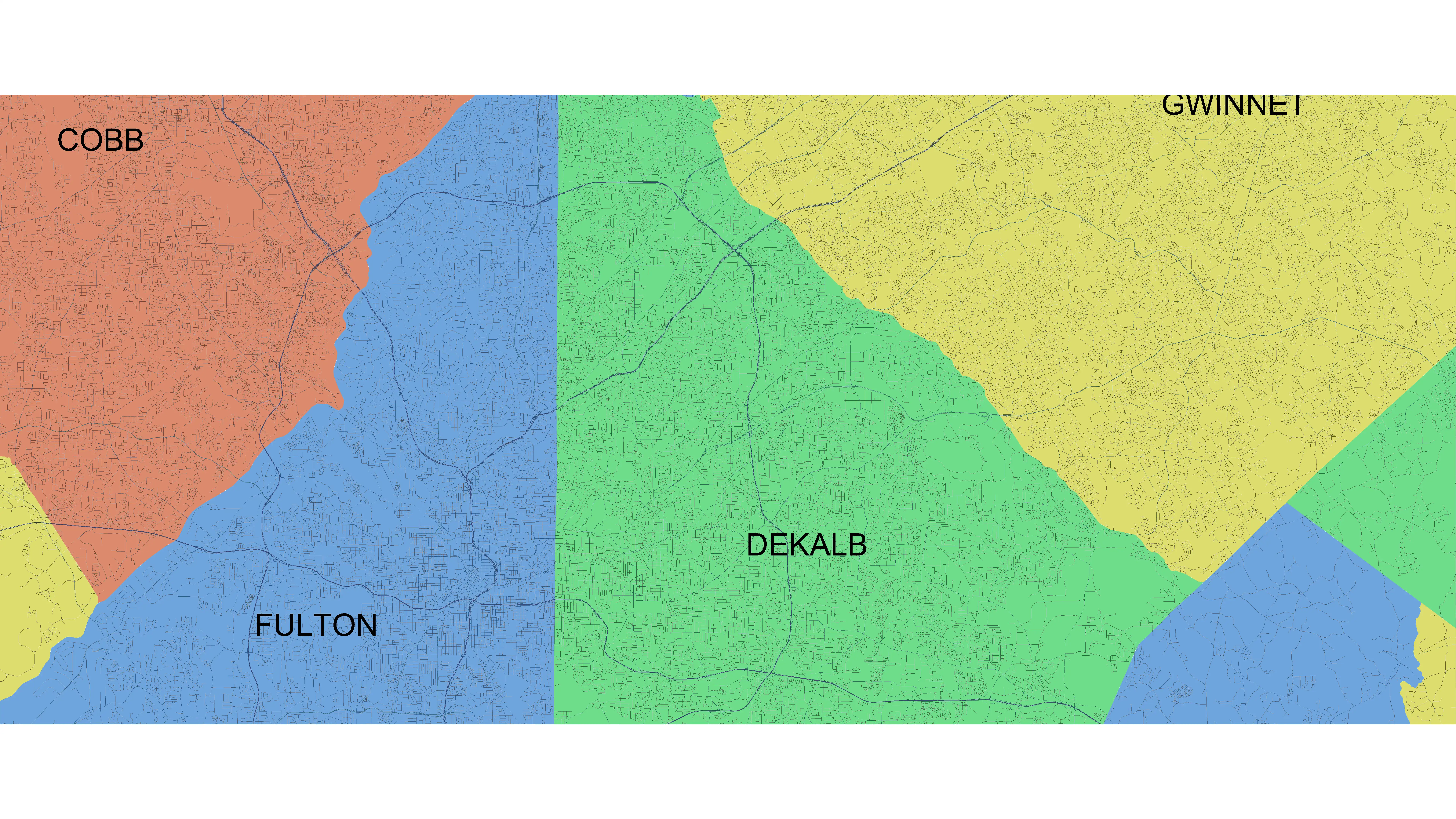
(Image by: Methodical, Cad Consulting)
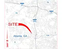
Conclusion
Vicinity GIS - North Carolina, US is a must-have plugin for Revit users who want to add accurate geographic information to their design projects. With geo-referenced CAD models, universal compatibility, and detailed Governmental Administrative divisions, this plugin offers a seamless way to integrate real-world data into your Revit models. If you're looking to save time, improve accuracy, and enhance the overall quality of your designs, be sure to give Vicinity GIS a try. You won't be disappointed!
(Image by: Methodical, Cad Consulting)