


About this app
Introduction
Vicinity GIS is a powerful Revit plugin that offers a collection of Cad Models featuring real-world, geo-referenced features representing Federal, State, and local streets, highways, and roads. This plugin provides users with the ability to easily integrate these models into their project designs, making it a valuable tool for professionals in the Engineering, Architectural, Structural, and Geographic industries.
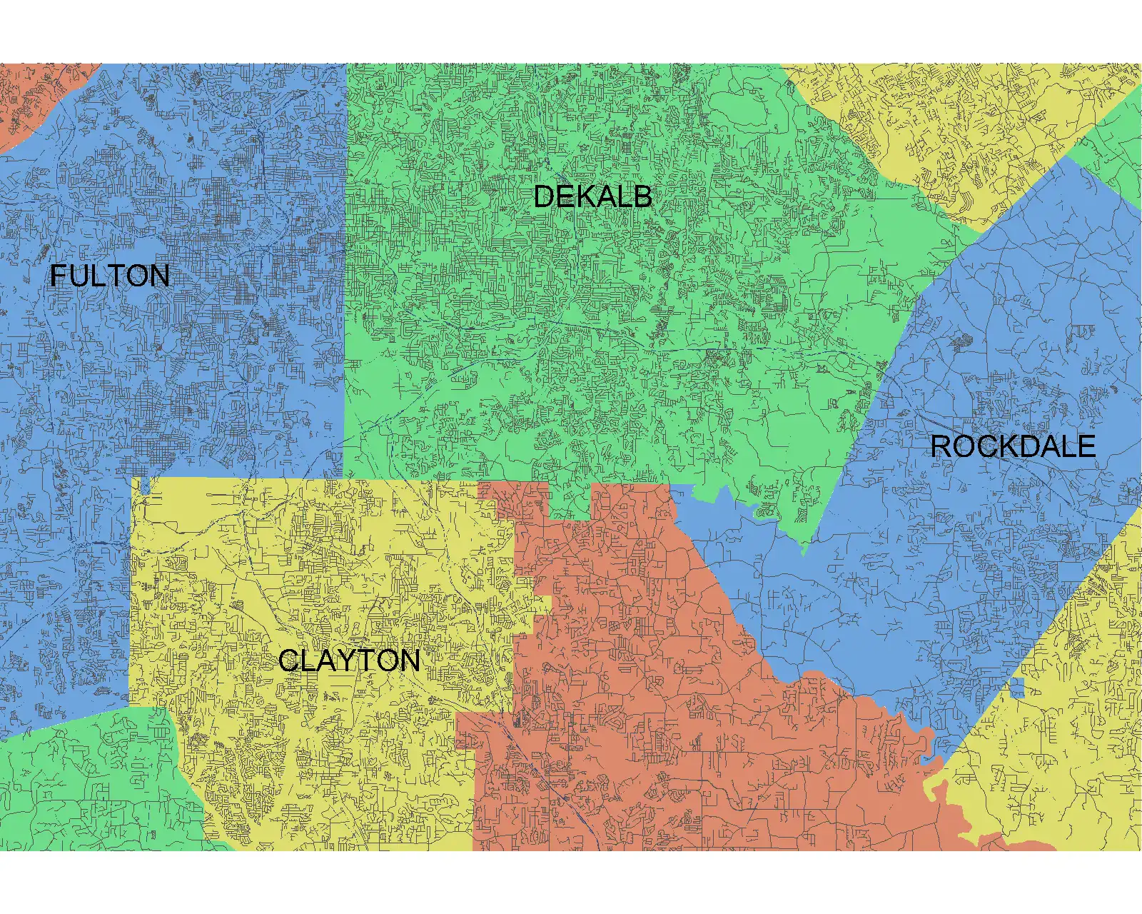
(Image by: Methodical, Cad Consulting)
Key Features
One of the standout features of Vicinity GIS is the geo-referenced nature of the Cad Models. Each model is geo-referenced to its respective NAD83 State Plane coordinate system, ensuring accuracy and consistency in spatial data. This level of precision is essential for projects that require detailed and accurate location information.
Furthermore, Vicinity GIS offers compatibility with all Autodesk® product categories, thanks to the use of the "dwg" format. This format has become the universal standard in the industry, allowing for seamless integration of the Cad Models into various design projects.
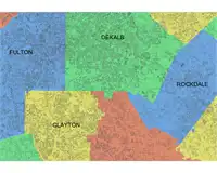
Another notable feature is the inclusion of Governmental Administrative divisions in the Cad Models. These divisions, such as State, Province, County/Parish, and City boundaries, are represented by hatched areas, making them easily distinguishable and searchable within the models. This feature enhances the usability of the models, enabling users to quickly identify and isolate specific areas of interest.
(Image by: Methodical, Cad Consulting)
Ease of Use
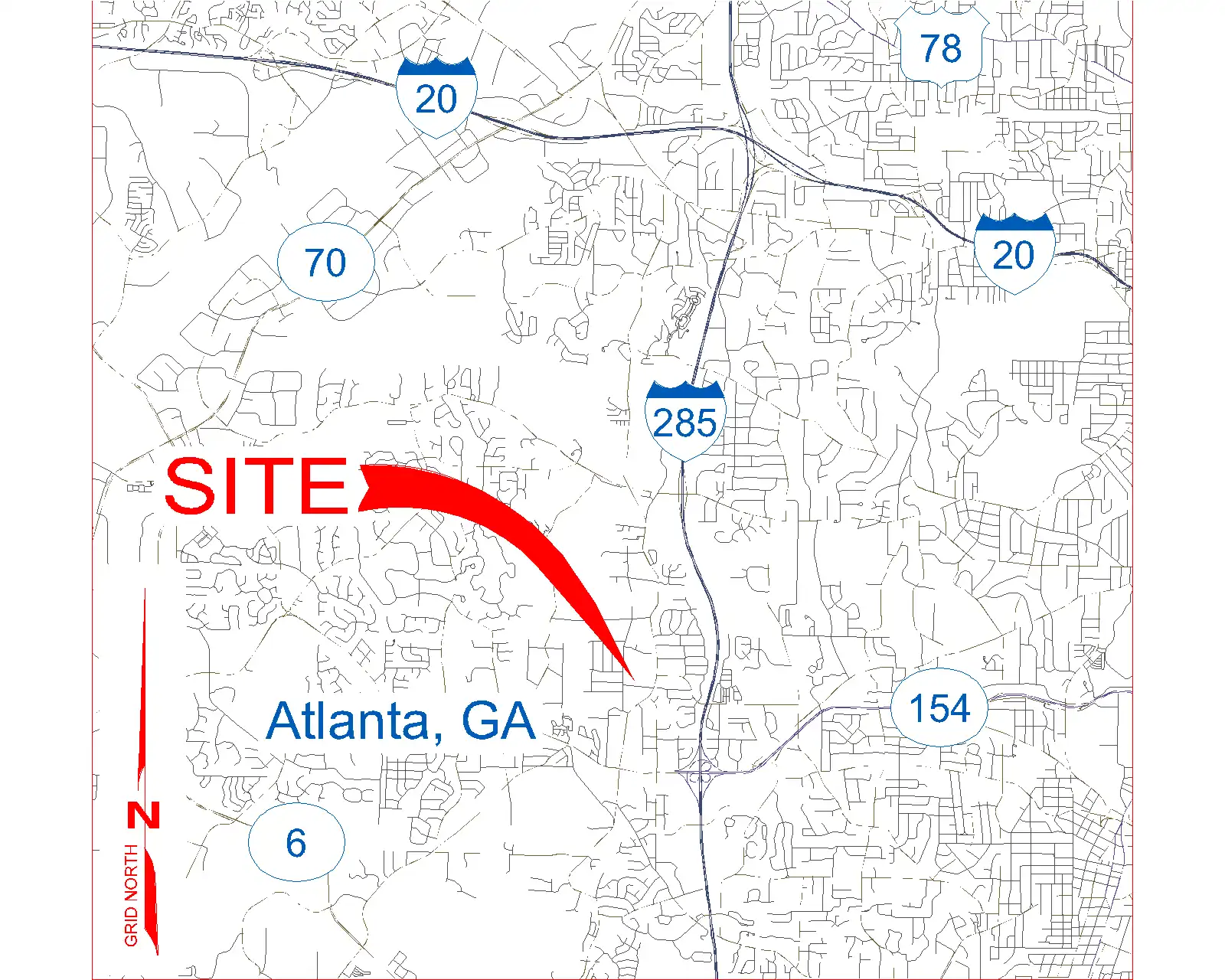
One of the strengths of Vicinity GIS is its user-friendly interface and intuitive workflow. Users can easily insert or x-reference the Cad Models into their project design models, allowing for seamless integration of the geo-referenced features. Additionally, the ability to x-clip the models to show only project-specific areas simplifies the design process and enhances productivity.
Furthermore, the features contained in the models, such as polylines, text, and hatch entities, are organized by Layer, Color, Line Weight, and Style, making them easily selectable and searchable using standard Autodesk® AutoCAD® commands. This level of organization and accessibility streamlines the design process and ensures efficiency in project development.
(Image by: Methodical, Cad Consulting)
Conclusion
In conclusion, Vicinity GIS is a valuable Revit plugin that offers a comprehensive collection of Cad Models with geo-referenced features representing Federal, State, and local streets, highways, and roads. With its compatibility with all Autodesk® product categories, ease of use, and intuitive workflow, this plugin is a must-have tool for professionals in the Engineering, Architectural, Structural, and Geographic industries. Whether you are working on a large-scale infrastructure project or a detailed architectural design, Vicinity GIS provides the accuracy, precision, and efficiency needed to bring your vision to life. Give it a try and experience the power of geo-referenced Cad Models in your project designs.
(Image by: Methodical, Cad Consulting)